In pictures: British landmarks from the air
- Published

Ordnance Survey surveyors have taken aerial photographs of Britain's landscape since World War One. Last year, they spent 800 hours in the air, covering 190,000 miles of Great Britain and capturing 150,000 images.
Arundel Castle and Cathedral, in the South Downs National Park
Loch Etive, in Argyll
Dundee鈥檚 V&A museum, on the banks of the River Tay, opened in 2018
OS planes flying out of East Midlands Airport often pass over Birmingham
One of Britain鈥檚 most popular walking sites, on the Jurassic Coast
This uninhabited island located west of the Scottish mainland is one of about 6,000 islands off the coast of Britain
The Portland Bill lighthouse, in West Dorset, is not too many miles away from the Ordnance Survey headquarters, in Southampton
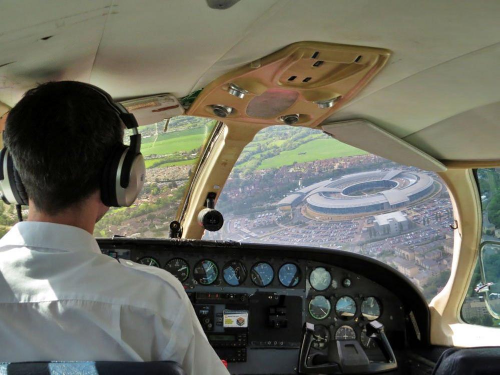
When aviators in flight have a chance to pass over the headquarters of the RAF鈥檚 Central Flying School, they do not want to pass up the opportunity
The flying unit often refuel at small airstrips whenever they survey the outer islands off the Scottish coast. This unusual image of a vintage US mail plane was captured last summer at Oban Airport, in Argyll
The Pembrokeshire town of Tenby, with St Catherine鈥檚 Island and Napoleonic fort off the coast. The fort doubled as maximum-security prison Sherrinford in the final episode of 大象传媒 One鈥檚 Sherlock series.
All photographs courtesy Ordnance Survey