Spy satellites reveal Himalayan melt
- Published

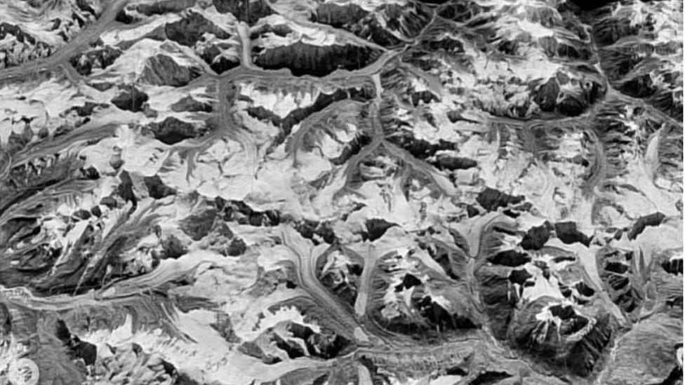
The images were taken by the US Hexagon spy satellite programme
Scientists have used Cold War spy satellites to reveal the dramatic environmental changes in the Himalayas.
They compared pictures collected by a US reconnaissance programme with recent satellite data to measure the extent of glacial melt.
They believe the now-declassified images could help to show how other remote regions have changed over time.
The research was presented at the American Geophysical Union Fall meeting in San Francisco.
āThis imagery will be getting used more and more,ā said Josh Maurer from Columbia University in New York.
The images were taken by a United States spy satellite programme that went by the codename of Hexagon.
During the 1970s and 1980s, it launched 20 huge reconnaissance satellites into space, which secretly snapped areas of interest below.
The images were taken on rolls of film, which were then dropped by the satellites, and collected mid-air by passing military planes.
The material collected was declassified in 2011 and is now being digitised by the US Geological Survey (USGS) for scientists to use.
Scientists used images taken more recently by Nasa as a comparison
Among the spy images are pictures of the Himalayas, an area for which historical data is scarce. By comparing them with more recent satellite imagery from Nasa and Jaxa (Japanese Space Agency) scientists have been able to see how the region has changed.
āWhat we are trying to do is to quantify by exactly how much are the glaciers retreating, how much ice are they losing and at what rate,ā said Josh Maurer.
āSo weāve used the images to extract 3D models of the terrain back in the 1970s.
āWe can see the height of the glacier ice in 1973, and we take those elevation models, and can take the difference between those and the modern day elevation models, and we can work out how the ice volume is changing over time.ā
The researchers have found that the extent of the ice loss has been great.
āAt every point on the glacier surface across the whole of the Himalayas a quarter of a metre of water is being lost each year,ā said Mr Maurer.
āI wouldnāt say itās surprising given the climate data we have, but it is very very interesting to see how much ice is lost.
āAnd populations downstream where they depend on these water resources are going to be affected.
āAs the glaciers shrink and retreat, the amount of run-off they provide to these streams will increase in the short term as they melt, but over the next 100 years it will decrease more and more, and thatās going to have a negative impact on water resources.ā
He said that the images from the Hexagon programme are now being used by various research groups to track how other parts of the Earth have changed over time.
Follow Rebecca