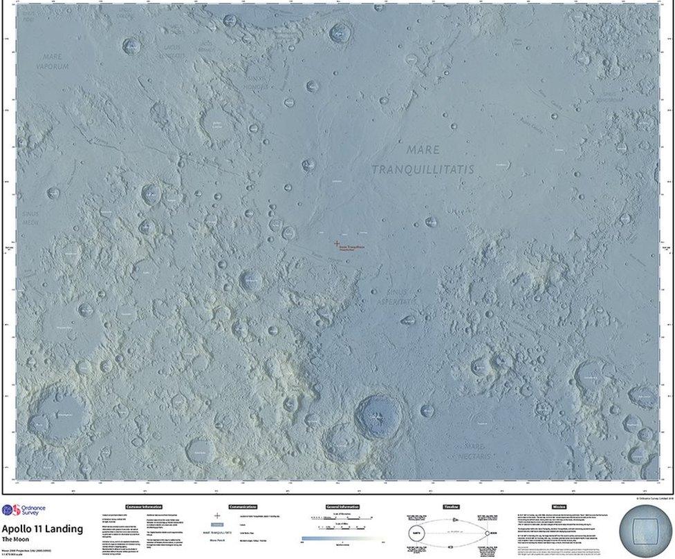
Moon landing marked by new Ordnance Survey map
- Published

The map of the Moon took three weeks to produce
Ordnance Survey (OS) has released a new map of the Moon to celebrate the 50th anniversary of humans landing there.
OS has been producing detailed maps of Great Britain for almost 230 years, but this is the second time the organisation has gone off-planet.
It created a map of Mars in 2016 using open data from Nasa.
The new Moon map, also using Nasa data, was created by cartographer Paul Naylor who wanted to celebrate Neil Armstrong's 1969 moon walk.
The map includes Statio Tranquillitas, the landing spot of the Apollo Lunar Module Eagle
Mr Naylor said: "The 1969 Moon landing is one of humanity's greatest scientific and engineering achievements, and the challenge of applying our innovative cartography and mapping tradecraft in honouring this achievement was too great to resist.
"I hope people can appreciate this as not just a map, but also as something beautiful to look at."
The map took three weeks to produce and covers an 840 mile (1,350km) by 620 mile (1,000km) area of the lunar surface to a scale of one to 1,470,000.
The Apollo 11 mission saw American astronauts Neil Armstrong and Buzz Aldrin land on the Moon on 20 July, 1969, with Armstrong being the first man to walk on its surface.
- Published15 February 2016
- Published24 March 2015
- Published7 October 2014