West
Author Jerry Brotton explores the four cardinal directions, where they came from and how they have shaped both how we define ourselves and how we understand the world.
Author Jerry Brotton presents a five part series exploring each of the four cardinal directions in turn – north, east, south and west – and the possibility that, in the age of digital mapping, we are being left disoriented.
Throughout history the cardinal directions have been crucial to virtually all societies in understanding themselves in relation to the wider world. More than points on a compass, they are ideas in their own right – creating their own political, moral and cultural meanings. They’ve shaped how we divide the world geopolitically into East and West (Orient and Occident) while contrasting the ‘Global South’ with the industrialised ‘Global North’ drives much current development policy, especially around climate change.
In the final part of the series Jerry looks West. Forming a direct axis with East and the rising sun, West is the direction where the sun sets, anticipating the descent into darkness and symbolically, the end of life. As a result hardly any early societies chose it as a sacred orientation for prayer and even fewer placed it at the top of their maps. Broadly understood as originating in Europe then incorporating North America, 'West’ is more often imagined as a frontier or threshold than a fixed geographical place (in America, tied to the notion of ‘manifest destiny’). But it has given birth to that most powerful yet intangible of concepts, the western world. As a political identity it's more contested today than any of the other cardinal directions.
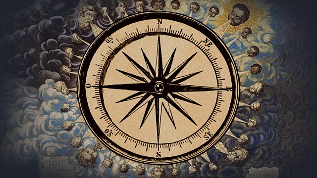
So why is north at the top of most world maps? The four cardinal points on a compass are defined by the physical realities of the magnetic North Pole (north-south) and the rising and setting of the sun (east-west) but there is no reason why north is at the top of maps, any other cardinal point would do just as well. The convention was developed by the western world. So why not put west at the top? Well, early societies refused to privilege the west because it was the direction of the sunset, where death reigned. For medieval Christianity, east was at the top, because that was the direction of the Garden of Eden, shown on many mappae-mundi. On early Islamic maps south was at the top, while Chinese maps used north because the emperor looked 'down' southwards and everyone else looked 'up', north.
Series contributors include Google spatial technologist Ed Parsons, historian Sujit Sivasundaram, neuroscientist Hugo Spiers, author Rana Kabbani, geographer Alistair Bonnett, head of the China Institute at SOAS Steve Tsang, former head of maps at the British library Peter Barber, barrister and specialist in equality law Ulele Burnham, historian Felipe Fernandez-Armesto, author Irna Qureshi, wayfinder and science writer Michael Bond, librarian at Hereford Cathedral Rosemary Firman and historian of Islamic maps Yossef Rappaort.
Presenter: Jerry Brotton
Producer: Simon Hollis
A Brook Lapping production for ����ý Radio 4
Last on
Broadcasts
- Tue 17 May 2022 09:30����ý Radio 4
- Fri 11 Aug 2023 13:45����ý Radio 4

