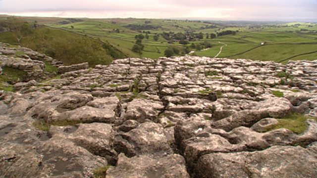
Surface features of upland limestone scenery
In the Malham Cove area of the Yorkshire Dales, the landscape has been shaped by the erosion of limestone outcrops via chemical weathering, naturally acidic rain water and erosion through the movement of water and ice. Scars are bands of rock exposed by glaciers as they move through a valley. Underneath, scree is formed by broken rock which has fallen into the valley. Glaciation is also responsible for the exposure of flat limestone pavements. These have been further eroded by rainwater to form clints and grykes. Thanks to Ordnance Survey.
Duration:
This clip is from

More clips from Landscapes and Land Formations
-
![]()
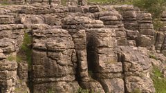
Formation of carboniferous limestone
Duration: 01:38
-
![]()
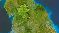
Location of Yorkshire Dales National Park
Duration: 01:09
-
![]()
Summary of upland limestone drainage features
Duration: 01:08
-
![]()
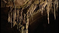
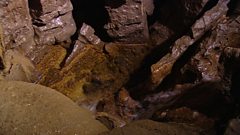
Underground features of upland limestone scenery
Duration: 02:48
More clips from Intermediate/Higher Geography
-
![]()
Malnutrition and kwashiorkor—Development and health
Duration: 02:33