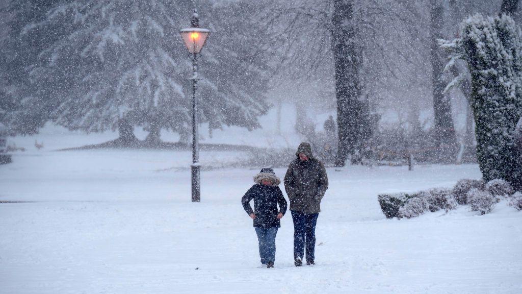
First snow of season for some as Arctic air to sweep in across UK

- Published
With some Arctic air heading our way from Sunday, some parts of the United Kingdom could see their first wintry weather.
However, though some misleading headlines suggest otherwise, forecasting snow many days in advance is tricky.
While it is true that some forecast model data is showing a much colder spell with snow, there are uncertainties in the forecast.
So what are the facts behind the headlines?
Colder air from the Arctic will start to move in by Sunday and into next week
Colder weather on the way
Is there any truth behind stories suggesting we are in for a "wall of snow" with "Britain set to freeze"?
At the end of this weekend and into next week there are some convincing signals of a northerly wind developing.
This would bring in colder Arctic air across the UK and bring temperatures below the average.
On Sunday, for example, maximum temperatures will be around 3-8 Celsius across the UK.
And into Monday morning there could be a widespread ground frost as temperatures fall close to freezing.
This is one of the more predictable parts of the forecast. It is also likely that we will see some sunshine this week, after the lack of sunshine so far in November under the anticyclonic gloom.
As for snow, that is more uncertain.
While the air will be cold enough for precipitation to fall as sleet or snow for some parts of the UK, where and how much may fall will only really be known over the coming days.
In this weather set-up, one can assume we will have wintry showers coming in across Scotland and northern England with snow over mountains and maybe some sleet to lower levels.
So, in weather terms, nothing unusual for the end of November.
Into next week some snow is possible but most likely over the higher ground of Scotland and northern England
Watch out for misleading headlines
Free forecast models from a range of organisations are publicly available so sometimes a single model run, for weather some time away, ends up being the basis for some excitable headlines predicting snow.
It is important to remember when we look at these headlines that weather forecasting is a tricky science and long range forecasts are not always reliable.
While there have been huge improvements over decades, we know that forecast accuracy decreases the further out you go.
We also use a variety of different weather forecast data from the European Centre of Medium Range Weather Forecasts (ECMWF), the UK Met Office and the American Global Forecast System to name a few.
Because each of these models uses different maths and physics, the forecasts they provide may start to diverge over time, showing different outcomes.
This is especially the case for a forecast beyond five to seven days.
To therefore suggest a forecast of a large amount of snow hitting the UK in 10 days time based on one model at one time is very misleading, particularly if other forecast models do not show the same thing.
Now, I am not saying that one model run is wrong or the forecast given is "fake news" as there is a chance it could be accurate.
However, as meteorologists we need to look at all the data, understand the uncertainties, and suggest the most likely forecast.
The one thing I can absolutely guarantee, though, is that as we enter winter, you will read and see a lot more about snow in the coming weeks and months.
- Published2 days ago
- Published26 November 2023
- Published2 December 2020