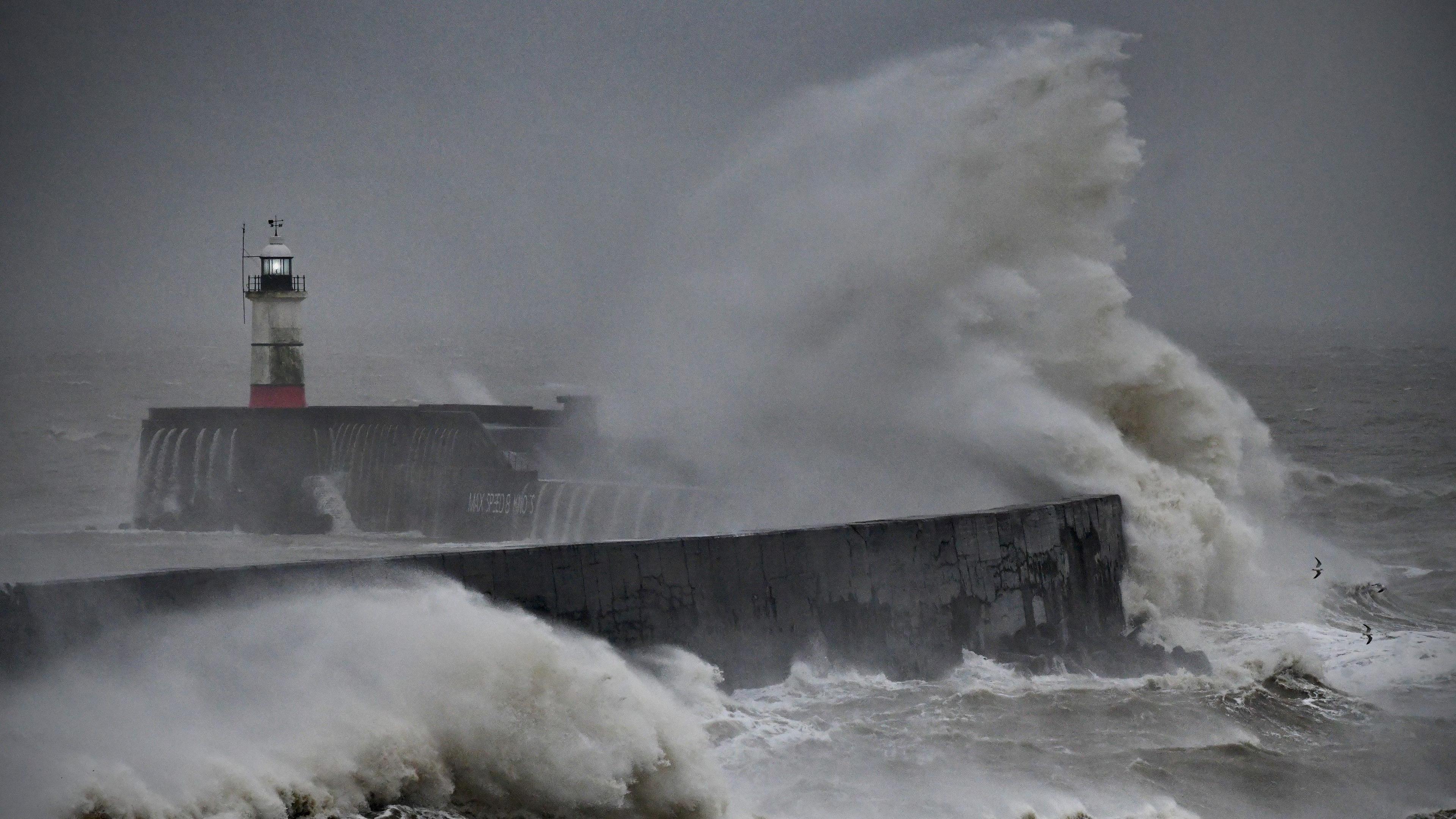
Will Hurricane Kirk bring bad weather to the UK?

- Published
There is another hurricane on the scene. This one is called Kirk, and over the weekend it was a major hurricane in the middle of the north Atlantic.
Kirk has since headed north over cooler waters and weakened to become an extratropical storm.
Rather than heading towards the Caribbean or US it will steer rapidly into western Europe. But how bad will the weather get in the UK?
Still a large mass of cloud in mid-Atlantic and the track takes Kirk to western Europe
What is happening to Hurricane Kirk?
Even though Kirk is over the open ocean, it was still producing large swells and potentially dangerous rip currents across parts of the Caribbean, Bermuda and the east coast of the United States early on Monday.
Kirk has been undergoing extratropical transition in the Atlantic. This means the storm is losing all its tropical core of energy that powered it when over warmer waters. Since moving north the inner core of the system has basically collapsed and deep convection is limited to the northern half of the circulation.
Strong shear, dry air, as well as cooler waters, is causing Kirk to gradually lose strength.
The remnants of Hurricane Kirk are being caught up in the fast mid-latitude westerly airflow. This should take the extratropical low pressure area to the north of the Azores on Tuesday and across western Europe on Wednesday and Thursday.
Hurricane Kirk's path
Passing to the north of the Azores on Tuesday, the winds could reach over 70mph (110km/h) in northern parts of the archipelago. More dangerous could be the risk of waves 62ft (19m) high in the morning.
From there the storm heads into the Bay of Biscay by Wednesday. The strongest winds will be just to the south of the centre of the low pressure area, with 70mph (110km/h) winds or more are forecast for the northern Iberia and the Atlantic coast of France.
Ferry services that run through the Bay of Biscay are likely to be disrupted.
On the other hand, surfers off the west coast of Portugal will probably enjoy 20ft (6m) waves.
The low pressure will then take a swath of strong winds and heavy rain across France, Belgium, the Netherlands and Germany.
Position of the low pressure area containing remnants of Hurricane Kirk
Will Hurricane Kirk impact the UK?
If the forecast stays the same we will get a glancing blow. There are currently no Met Office weather warnings for the UK with the worst of the weather expected over continental Europe.
Winds here will strengthen in many areas on Wednesday night into Thursday with strongest winds of 50mph (80km/h) or more along North Sea coasts.
However, if the centre of the low pressure in closer, it could get even windier in south-eastern parts of England. It is one to keep an eye on.
The change in wind direction as the low passes will be particularly noticeable.
On Monday winds have been from a southerly direction with temperatures up to a very mild 19 Celsius. By Thursday, with the storm centred to the east of us, we will have a northerly wind. The maximum temperature may be only 12C and it will feel colder in the wind.
We may miss the more impactful weather but there will be a significant change in our weather this week.
You can keep up to date with the latest forecast here or on the ┤¾¤¾┤½├¢ Weather app.