Why is it so cold?

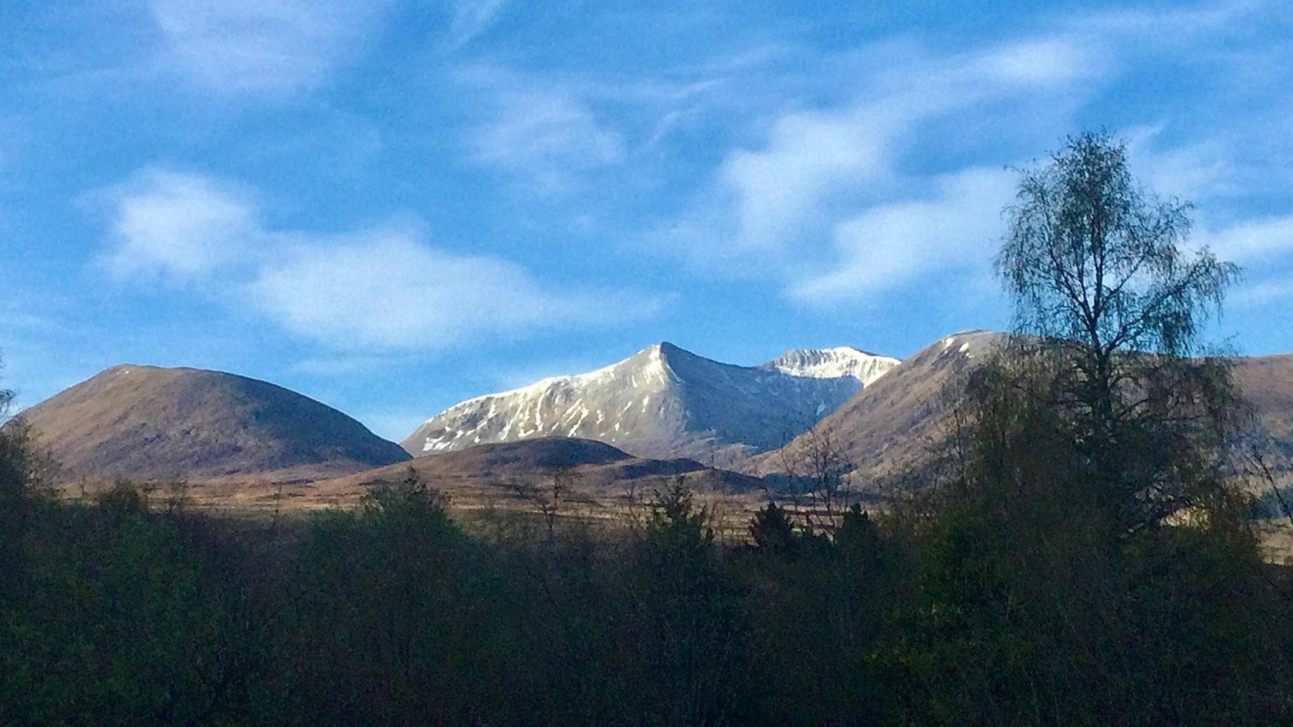
It has been cold enough for some snow to fall on top of some of the Scottish mountains this week
- Published
This week has been colder than average across the United Kingdom, especially for those living along the North Sea coasts.
Cold northerly winds have been bringing Arctic air with temperatures remaining in single figures or up to 13C at best.
The wind direction will change into the weekend bringing something a little warmer next week.
But, it will also bring the return of some rain.
April average temperatures
Spring will always tend to bring some swings in weather as we transition from the cold dark winter to warmer summer.
After some pretty warm days for some of us with nearly 22C in south-east England and 20C in Northern Ireland last week, the colder weather set in.
Late April average maximum temperatures are 11-16C across the UK, but this week they have been well below that.
It has, however, at least been largely dry with some sunshine and where you have had some sunshine and shelter from the wind, you really notice the warmth of the Sun.
The sunshine in late April is just as strong as that in late August so our skin is now vulnerable to sunburn.
Remember, strength of the Sun isn't linked to the temperature, so you can still burn even on a cold day.
Low pressure approaches from the south over the weekend to bring slightly milder air but also some rain-bearing weather fronts
When will it get warmer?
The colder northerly airflow will get cut off from Saturday which will mean temperatures will start to creep up.
However, a switch to milder south-westerly winds will also bring an area of low pressure.
A spell of rain will initially spread northwards on Saturday across southern England and Wales.
Heavier rain is then likely on Sunday across England so while it will not be as cold, it still will not feel drastically warmer at this stage.
It will turn a little quieter with sunny spells early next week and temperatures up to the average with highs of 12-16C.
Compared to this week it will feel most noticeably warmer in eastern areas of England and eastern Scotland where there will not be that cold wind off the North Sea.
Fair weather cumulus clouds above a bright rape-seed field in Staffordshire
Bank Holiday Monday weather
For longer range weather forecasts, the details are difficult to pin down so we need to have a look at the pressure pattern, which gives an idea of the type of weather.
While the middle of next week looks to be warmer, as we approach the bank holiday weekend there are hints that a northerly wind could return.
With a return of this Arctic air, temperatures will come down below average with the chance of some showers too.
But, as it is the bank holiday weekend, you could have probably guessed that was going to happen.
As always there are some uncertainties in long range weather forecasts as described in the latest ┤¾Ž¾┤½├Į Weather monthly outlook.
Stay up to date with the forecasts with ┤¾Ž¾┤½├Į Weather via our app, online, (formerly Twitter), and .