What is a derecho?
- Published

Derechos are storms that can cause destruction similar to that of tornadoes, but the damage occurs in a relatively straight line and over a much larger distance.
What is a derecho?
A derecho (pronounced deh-REY-cho) is a widespread long-lived wind storm that is associated with bands of rapidly moving showers or thunderstorms.
There are a few criteria that need to be met for an event to be classified as a derecho:
The damage caused must extend more than 250 miles (386km);
It must include wind gusts of at least 58mph (93km/h) along most of its length;
It must include several well-separated wind gusts of 75mph (121km/h) or greater.
When and where are they found?
Derechos are most common in the central and eastern United States, especially in the Midwest, the Southern Plains, and the Ohio and Mississippi valleys. They usually occur in late spring and summer. In fact, more than 75% of derechos in the USA occur between April and August.
There have been a few reported elsewhere around the world, including in Europe, Australia and parts of Africa, but derechos are relatively rare outside North America.
Derecho storms are seen more than once a year on average in the most frequently hit spots. Data credit: NWS
How are they formed?
A derecho starts life as a thunderstorm, or cluster of thunderstorms. If conditions are right and there is plenty of warm, humid air at the surface, combined with a strong, straight jet stream, the storm can build into a towering system.
Warm currents of rising air combine with downdraughts of colder, rain-bearing air. These spill out of the bottom of the cloud and spread out horizontally, creating strong bursts of wind. This forces warm air at the surface upwards, creating a "gust front".
As strong air currents continue to move up and down within the storm, it can become self-reinforcing as it propagates forward. This is because the falling rain further cools the air on the back edge of the gust front, giving more fuel to push warm air upwards.
What do they look like?
On a rainfall radar image, the pattern of rain falling along the gust front often resembles a bow or arch.
Radar image of a derecho storm moving eastwards
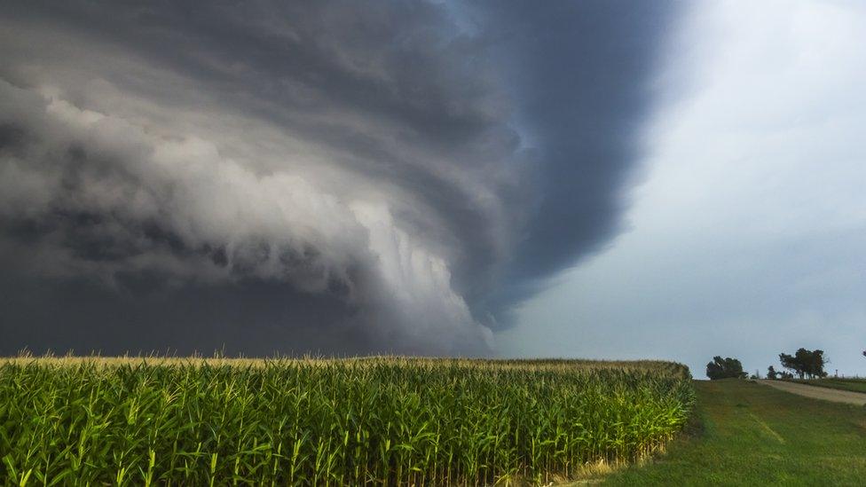
On the ground, a threatening wall of wind and rain can often be seen in the path of a derecho, with an ominous looking shelf cloud on its leading edge. The system can spawn tornadoes, thunderstorms and winds stronger than a hurricane.