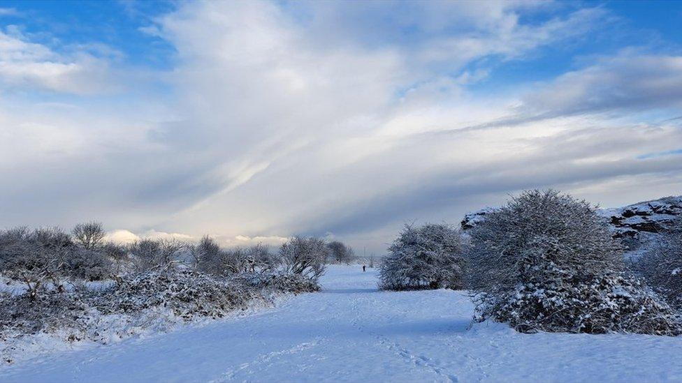
Is it going to snow this weekend?
- Published

Is it going to snow this weekend? The answer to that question depends very much on where you are in the UK.
It's certainly cold enough for snow, but we won't all be seeing it.
There have already been wintry showers across northern and eastern Scotland and eastern England. These showers, containing a wintry mix of rain, sleet and snow, have been blowing in from the North Sea on a chilly north-easterly wind.
Met Office warnings for snow and ice are in place tonight for these areas with everything re-freezing on to roads and pavements.
Change of wind direction
The winds will lighten further on Friday night, meaning there could be some extensive freezing fog forming, especially across the Midlands and East Anglia. Crucially, we will lose the north-easterly wind, cutting off the feed of showers and from Saturday morning we will start to draw in westerlies.
Lines of showers will push in from the west on Saturday, bringing snow showers and slight accumulations to south-west Scotland, the Western Isles and north-west England, and later on to the hills of Wales and the moors of south-west England.
It will be all eyes to the west, too, on Saturday evening, as a heavier band of rain moves eastwards. As this bumps into the colder air, and particularly with any intense downpours, there is the potential for this rain to turn to snow anywhere from the M4 corridor northwards, as far north as Yorkshire.
This front will ease and clear East Anglia probably as rain as we go into Sunday morning.
Ice and freezing rain could make roads treacherous on Saturday night and through into Sunday
Additional hazards
Ice and freezing rain, the latter falling as a liquid and freezing on impact, could be extra hazards on Saturday night. Gritters may well struggle to keep up as the front moves eastwards.
Snow for some but cold for all this weekend
Not all of us will see the snow, and in fact on Saturday away from the coasts and freezing fog patches it looks mostly dry with some sunshine developing.
Scotland and Northern Ireland away from the south-west could stay dry all weekend. But temperatures here will struggle here by day to get past low single figures and by night could drop as low as -10C. Across England and Wales there will be a widespread air frost and freezing fog patches too.
More snow on Monday?
While Sunday heralds the arrival of slightly less cold air, Monday morning will see another area of low pressure spin in from the south-west, possibly bringing snow on its northern flank across southern England and Wales.
The big caveat here is that every hour the computer models are producing different outcomes so it's very difficult to say where and when the white stuff may fall.
Of course, snow on a Sunday is very different to snow on a Monday morning in terms of its impact on traffic, schools and daily life in general.
How long will the cold spell last?
Next week will still feel chilly, with possibly some transient snow in the north but temperatures are likely to return to the seasonal average or just below. It could be wet and very windy at times though as Atlantic systems sweep in from the west, so be careful what you wish for!
You can keep up to date on the weather prospects for next week and beyond in our latest monthly outlook, as well as keeping on eye on the forecasts on ┤¾¤¾┤½├¢ TV and on our website, app and social channels.
- Published1 December 2023
- Published26 November 2023