Drier weather on the horizon
- Published

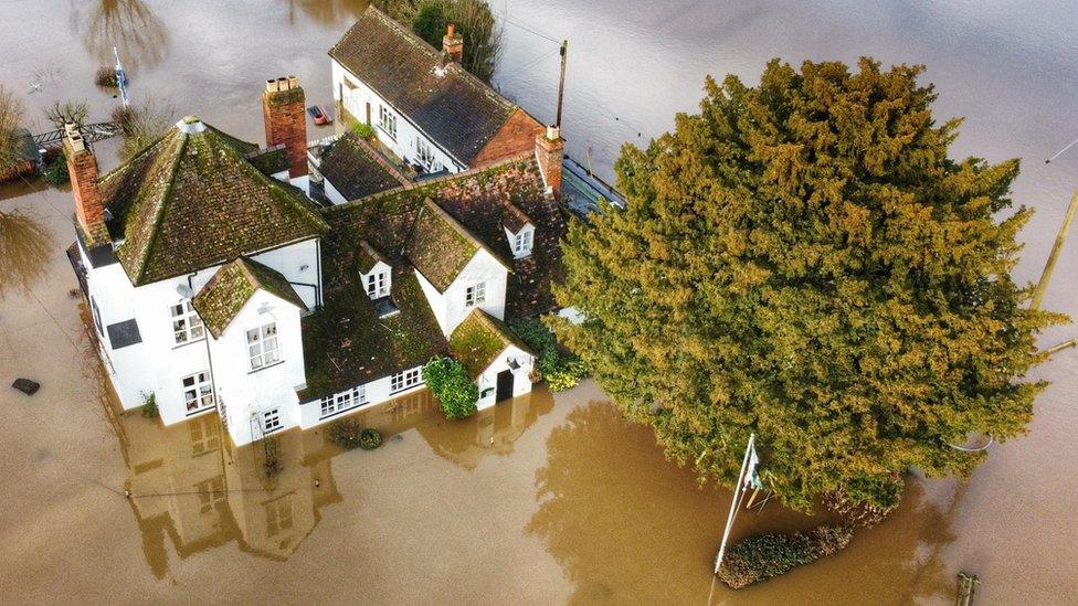
The rain that has fallen over the United Kingdom recently has led to swollen rivers, saturated ground and flooding.
Any more rain in the short term will only lead to further flooding concerns. But a change in the weather is on the way.
Why has it been so wet?
For the last few weeks a strong jet stream over the Atlantic has frequently been tracking right over the UK, bringing spells of wet weather and an unusual number of storms.
The latest storm was Henk which, as well as bringing damaging winds, brought heavy rain, leading to more than 300 flood warnings on rivers in England on Tuesday.
This was the earliest we have had a storm starting with the letter H since the naming of storms was introduced in 2015-16.
The heaviest rainfall so far in January has been over hills in the west, but compared to normal it has been wetter in the east
How wet has it been?
Eastern Scotland has already exceeded the usual winter (December-January-February) rainfall. Aberdeen Airport, for example, has recorded 313mm of rain. The airport's winter average is 205mm.
Eastern England is usually a drier part of the UK at this time of year, but Wattisham in Suffolk has already recorded a month's worth of rain in just the first five days of January.
So what is changing?
The position and strength of the jet stream will change meaning that high pressure will build over the UK from this weekend.
Under an area of high pressure air slowly descends, limiting rainfall. We are going to see a much-needed drier spell of weather with calmer conditions.
Though given the current very wet ground there will be a risk of fog.
It is also going to turn colder. Temperatures will be below normal and the long nights will see a return of night frosts.
In anticipation of the change to lower temperatures the UK Health Security Agency has issued a cold weather alert covering the whole of England from 9am on Saturday 6 January to midday on Tuesday 9 January.
The omega blocking pattern of the jet stream means high pressure will be over the UK
How long will it last?
Forecasters are expecting a blocking pattern, specifically an omega block, to develop over the Atlantic and Europe.
An omega block is so called because the jet stream distorts into the shape of the last letter of the Greek alphabet, omega.
This blocking pattern can be difficult to break and the colder and drier spell could last until the middle of January at least.
You can keep up to date with the forecast by following ┤¾¤¾┤½├¢ Weather online, on and on .