Using GIS to map crime on bus routes
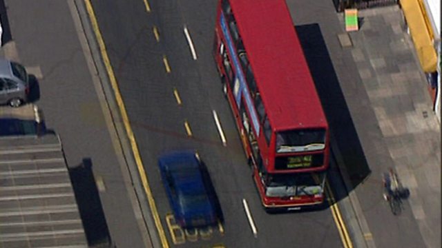
Police in the London borough of Lewisham use GIS to map and prevent crime. A map shows the distribution of selected types of crimes in Lewisham. By selecting a layer within a Geographic Information System (GIS) map, it becomes clear there is a link with a bus route through the area. The bus is regarded as a 'crime generator'. This is especially likely as much of the crime is known to be committed by children. Views from the upper floor of a bus along its route show how children can spot opportunities for crime. The police in Lewisham are making use of GIS to target their response by placing officers on the buses to help prevent crime.
Duration:
This clip is from

More clips from Mapping Crime
-
![]()
Counterfeiting and piracy
Duration: 04:03
-
![]()
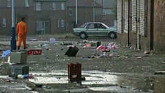
Designing crime prevention
Duration: 01:56
-
![]()
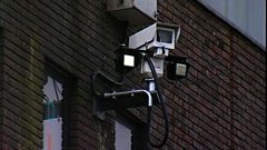
CCTV cameras in the Meadowell Estate
Duration: 02:02