Taking and transmitting high altitude photographs using a small computer and webcam
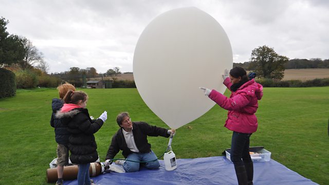
The Raspberry Pi is a small, cheap, bare-board, but fully functional computer. It is used here for high altitude weather photography using a large helium balloon, a GPS tracker (similar to that in a Sat Nav), a webcam and an aerial.
Signals are transmitted by long-range radio at low speed and thus images have to be low resolution and compressed, an unavoidable compromise. The computer is controlled by a number of programs. For example, one uses a loop (repetition) to take photographs of a given resolution every 30 seconds, another outputs the pictures and GPS data back to base via the radio transmitter. The GPS data is also used to provide directions for retrieving the hardware, once the balloon has burst and the hardware falls back to Earth.
Duration:
This clip is from
More clips from Cracking the Code
-
![]()
How pictures can be represented in the form of binary digits
Duration: 04:33


